

AVAILABLE IN GAMES
Honeybee
(Worker)
Overall length · 1.3 cm
Details & sources
Artwork license: CC0
Creator: Lubna Maherally
Wikipedia (English) Measurement source ↗Silhouette source ↗License details ↗Sources & credits →BROWSE · COMPARE · DISCOVER
Explore every material by category and name. See dimensions, artwork sources and the status of each entry.
Choose a category to play →Search names in any supported language. Previews fit their cards and are not at a common scale.
Results: 1,221 · Showing 577–624
(Worker)
Overall length · 1.3 cm
Artwork license: CC0
Creator: Lubna Maherally
Wikipedia (English) Measurement source ↗Silhouette source ↗License details ↗Sources & credits →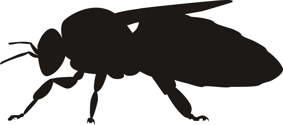
(adult)
Length · 1.2 cm
Artwork license: CC0
Creator: Kamil S. Jaron; via PhyloPic. Overlapping filled components united with consistent winding; normalized for Classic; measurement endpoints calibrated.
Head to abdomen tip; antennae and legs excluded.
Wikipedia (English) Measurement source ↗Silhouette source ↗License details ↗Sources & credits →
(USDA whole melon · top view)
Diameter · 13.33 cm
Artwork license: © Sizekin
Creator: Sizekin — original schematic vector illustration.
Full outer diameter in the labelled top view; the reused disk shows the measurement, not surface texture.
Wikipedia (English) Measurement source ↗Silhouette source ↗Sources & credits →
Height · 221 m
Artwork license: Source-site artwork
Creator: Size It Up — original source artwork
Wikipedia (English) Measurement source ↗Silhouette source ↗Sources & credits →
(USDA reference portion · side-view diagram)
Length · 11.85 cm
Artwork license: Source-site artwork
Creator: Size It Up. Reused first-party geometry as a labelled schematic side-view diagram. Only the named axis is calibrated; this is not a photograph or an exact botanical outline.
Full end-to-end length, not circumference or weight.
Wikipedia (English) Measurement source ↗Silhouette source ↗Sources & credits →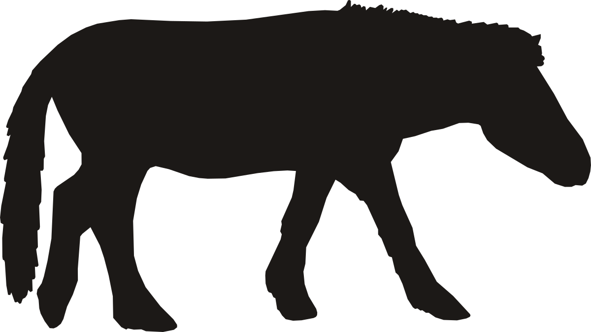
(Thoroughbred)
Length · 2.4 m
Artwork license: CC0
Creator: Andy Wilson
Wikipedia (English) Measurement source ↗Silhouette source ↗License details ↗Sources & credits →
(crest line, Niagara Falls)
Width · 670 m
Artwork license: Source-site artwork
Creator: Size It Up — original source artwork
The width is the crest line, unrolled into a straight front; the dip in the brink stands for the horseshoe curve. The drop and the mist are exaggerated so the curtain reads at game size.
Wikipedia (English) Measurement source ↗Silhouette source ↗Sources & credits →
(from foundation surface)
Height · 32.5 m
Artwork license: CC-BY-3.0
Creator: Delapouite, Game-icons.net, CC BY 3.0; background removed and normalized for Classic. Fifth storey derived from the icon top tier; finial from project-owned obelisk outline.
Height from the building foundation surface to the top. Stylised five-tier elevation; eaves and spire details are schematic.
Wikipedia (English) Measurement source ↗Silhouette source ↗License details ↗Sources & credits →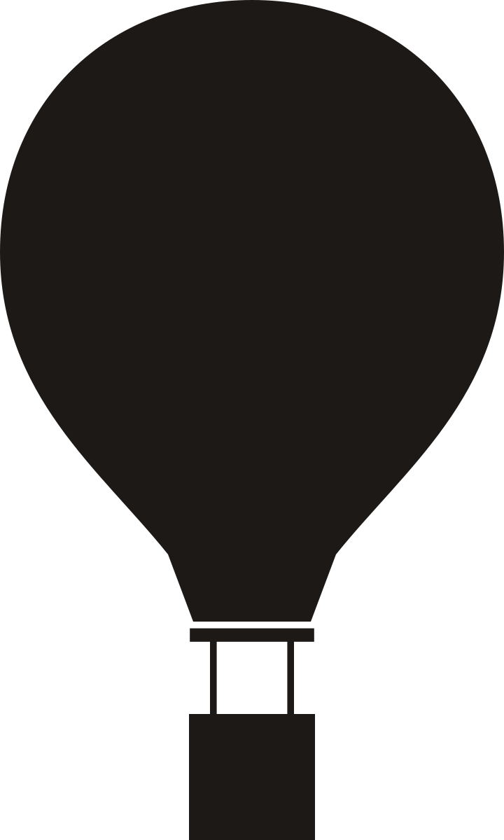
(typical envelope)
Height · 20 m
Artwork license: Source-site artwork
Creator: Size It Up — original source artwork
Wikipedia (English) Measurement source ↗Silhouette source ↗Sources & credits →
Length · 46 cm
Artwork license: CC0
Creator: Kawinwit Kittipalawattanapol
Wikipedia (English) Measurement source ↗Silhouette source ↗License details ↗Sources & credits →
(adult)
Length · 2 cm
Artwork license: CC0
Creator: Guillaume Dera; via PhyloPic. Normalized and simplified for Classic; measurement endpoints calibrated.
Head to abdomen tip; antennae, rear appendages and legs excluded.
Wikipedia (English) Measurement source ↗Silhouette source ↗License details ↗Sources & credits →
(60 mm cylinder-key blank)
Length · 6 cm
Artwork license: Source-site artwork
Creator: Size It Up — original source artwork
Wikipedia (English) Measurement source ↗Silhouette source ↗Sources & credits →
(Body)
Length · 8 cm
Artwork license: CC0
Creator: Matthew Schmitz
Wikipedia (English) Measurement source ↗Silhouette source ↗License details ↗Sources & credits →
Length · 16 cm
Artwork license: PD
Creator: Pascal Abel
Wikipedia (English) Measurement source ↗Silhouette source ↗License details ↗Sources & credits →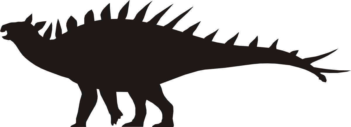
Huayangosaurus taibaii
Length · 4.5 m
Artwork license: CC0
Creator: Tasman Dixon; silhouette normalized and simplified by Size It Up.
Selected published estimate of total body length, snout to tail tip; schematic side-view reconstruction, not a specific measured specimen. Horns and projecting armour are excluded from the measurement.
Wikipedia (English) Measurement source ↗Silhouette source ↗License details ↗Sources & credits →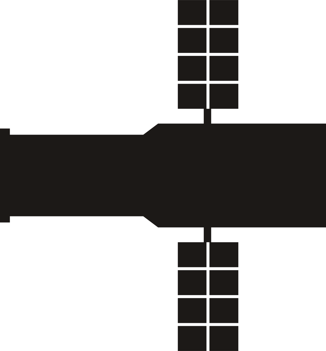
Length · 13.2 m
Artwork license: Source-site artwork
Creator: Size It Up — original source artwork
Overall length of the telescope; the solar arrays are drawn foreshortened across the tube and add no length.
Wikipedia (English) Measurement source ↗Silhouette source ↗Sources & credits →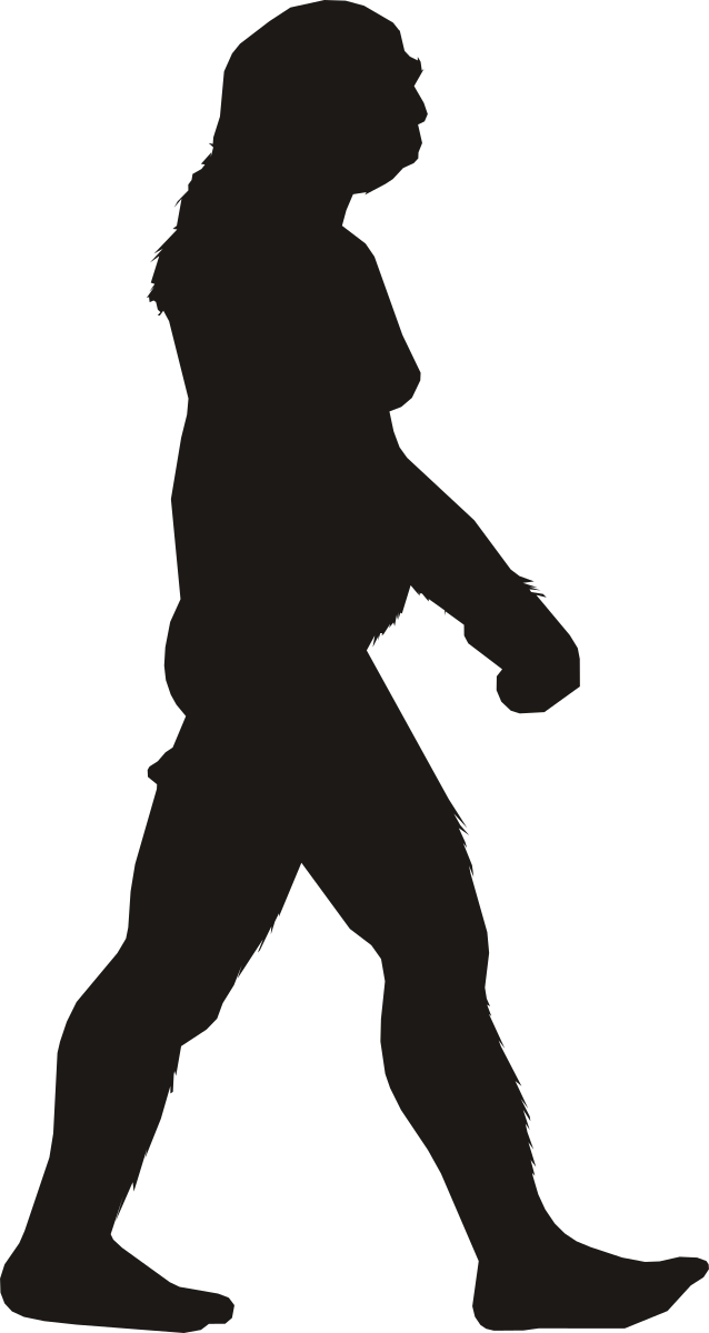
(Average Adult)
Height · 1.71 m
Artwork license: CC0
Creator: T. Michael Keesey
Wikipedia (English) Measurement source ↗Silhouette source ↗License details ↗Sources & credits →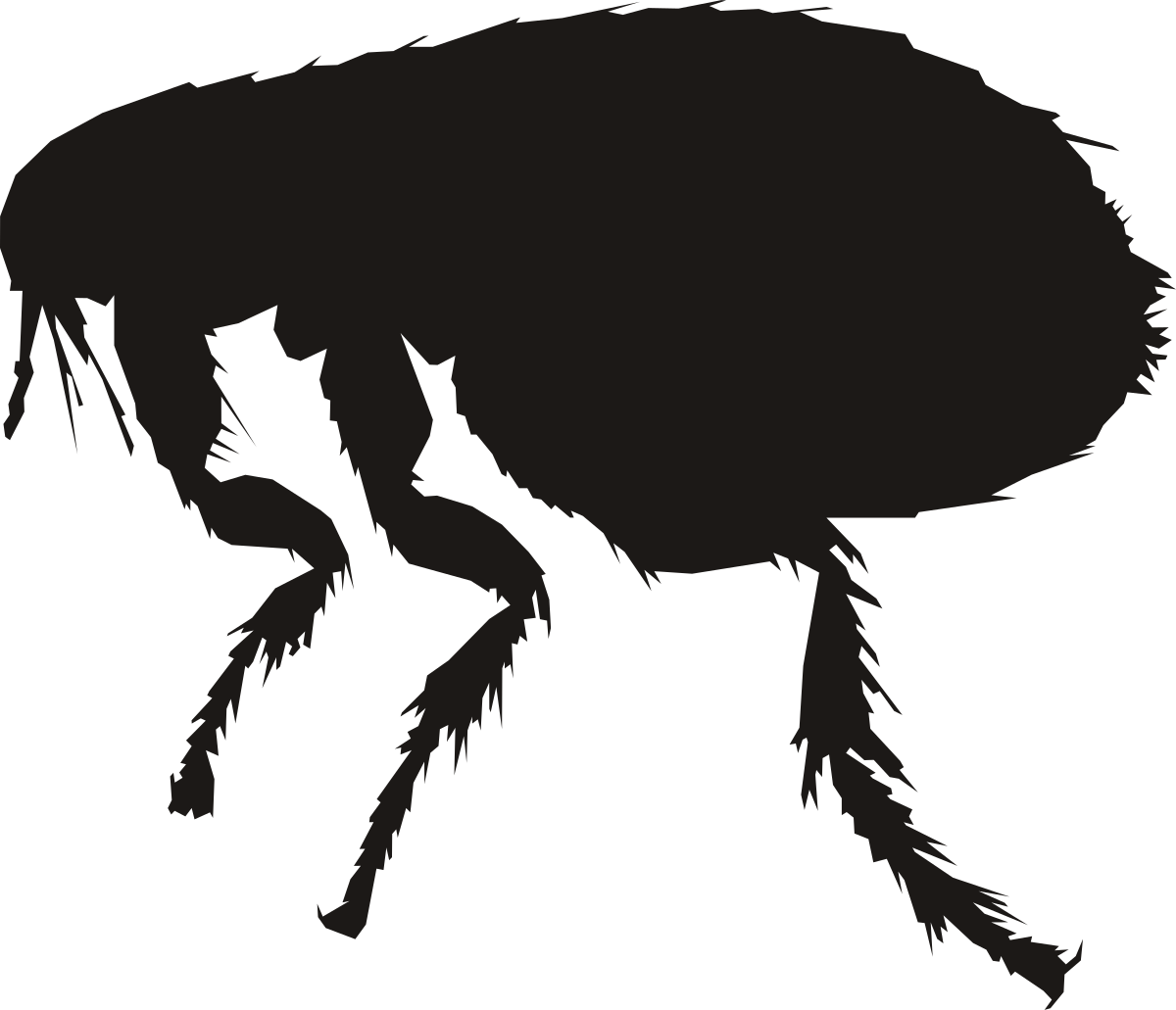
(adult)
Length · 1.95 mm
Artwork license: PD
Creator: T. Michael Keesey; via PhyloPic. Normalized and simplified for Classic; measurement endpoints calibrated.
Head to abdomen tip in side view; bristles and legs excluded.
Wikipedia (English) Measurement source ↗Silhouette source ↗License details ↗Sources & credits →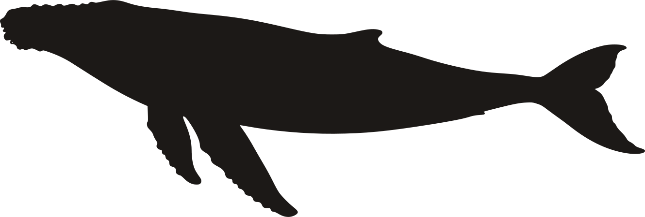
Overall length · 18.3 m
Artwork license: Source-site artwork
Creator: HowHeight / its licensors (individual creator not stated)
Published upper-end total length, measured from snout to tail tip; not standing height.
Wikipedia (English) Measurement source ↗Silhouette source ↗Sources & credits →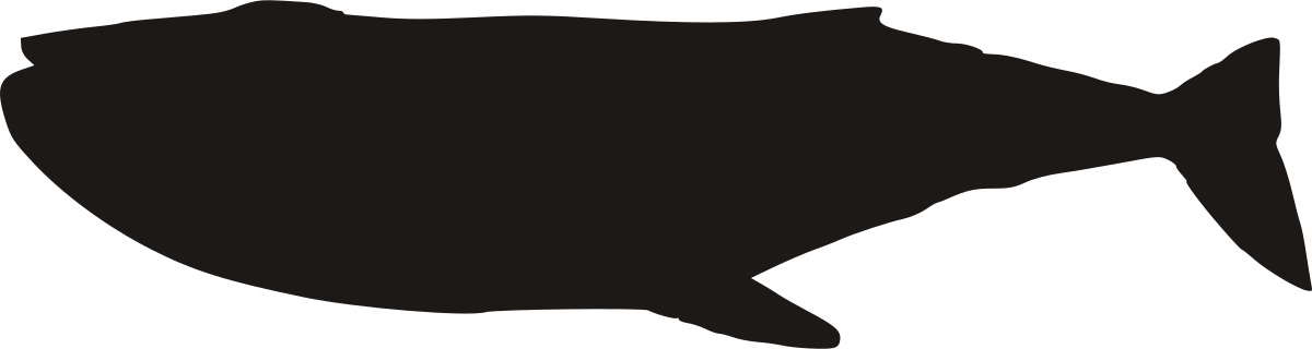
Length · 14 m
Artwork license: PD
Creator: T. Michael Keesey
Wikipedia (English) Measurement source ↗Silhouette source ↗License details ↗Sources & credits →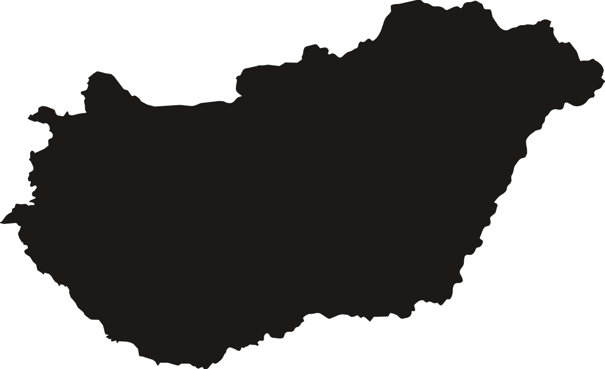
North-south map span · 314.4 km
Artwork license: PD
Creator: Natural Earth; Sizekin north-south measurement and map projection.
North-south extent of the displayed map: WGS84 meridional distance between its southernmost and northernmost boundary coordinates, not travel distance or elevation. All polygon parts assigned to this country in the pinned Natural Earth admin-0 feature.
Wikipedia (English) Measurement source ↗Silhouette source ↗License details ↗Sources & credits →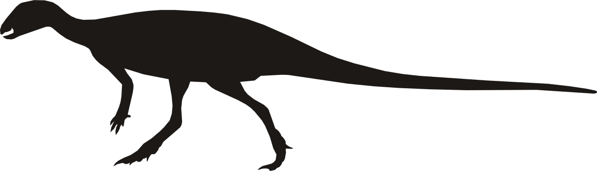
Hypsilophodon foxii
Length · 2 m
Artwork license: CC0
Creator: Scott Hartman; silhouette normalized and simplified by Size It Up.
Selected published estimate of total body length, snout to tail tip; schematic side-view reconstruction, not a specific measured specimen. Horns and projecting armour are excluded from the measurement.
Wikipedia (English) Measurement source ↗Silhouette source ↗License details ↗Sources & credits →
(72-inch ice-hockey goal opening)
Width · 1.829 m
Artwork license: Source-site artwork
Creator: Size It Up; original simplified Classic outline (goal)
72-inch ice-hockey goal opening; converted exactly to 1.8288 m (site's rounded cm conversion is inconsistent)
Wikipedia (English) Measurement source ↗Silhouette source ↗Sources & credits →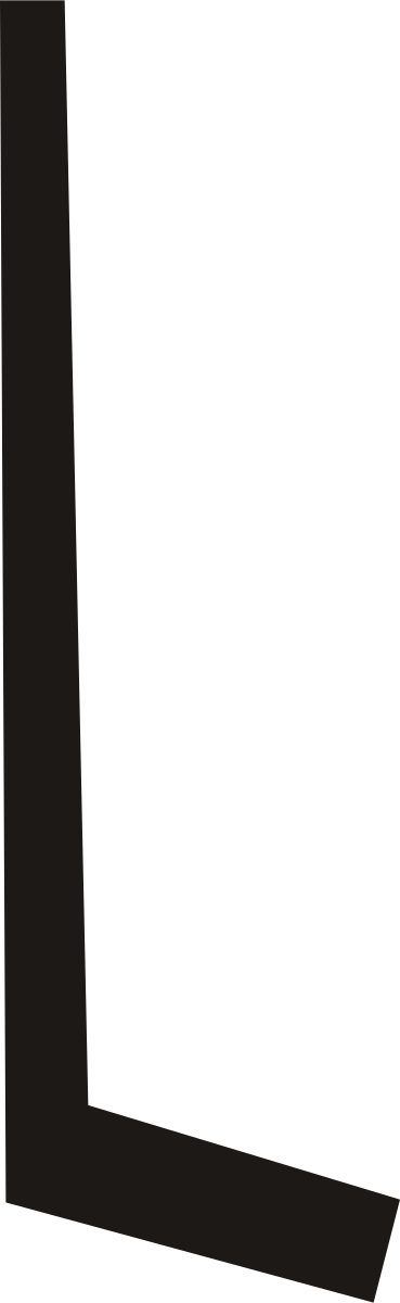
(Representative midpoint of published 142.2–160 cm complete goalie-stick length range)
Length · 1.511 m
Artwork license: Source-site artwork
Creator: Size It Up; original simplified Classic outline (hockey)
Representative midpoint of published 142.2–160 cm complete goalie-stick length range; shaft end to blade tip
Wikipedia (English) Measurement source ↗Silhouette source ↗Sources & credits →
(Published 3-inch regulation puck outside diameter)
Diameter · 7.62 cm
Artwork license: Source-site artwork
Creator: Size It Up; original simplified Classic outline (disc)
Published 3-inch regulation puck outside diameter
Wikipedia (English) Measurement source ↗Silhouette source ↗Sources & credits →(Representative midpoint of published 142.2–160 cm full-length range)
Length · 1.511 m
Artwork license: Source-site artwork
Creator: Size It Up; original simplified Classic outline (hockey)
Representative midpoint of published 142.2–160 cm full-length range
Wikipedia (English) Measurement source ↗Silhouette source ↗Sources & credits →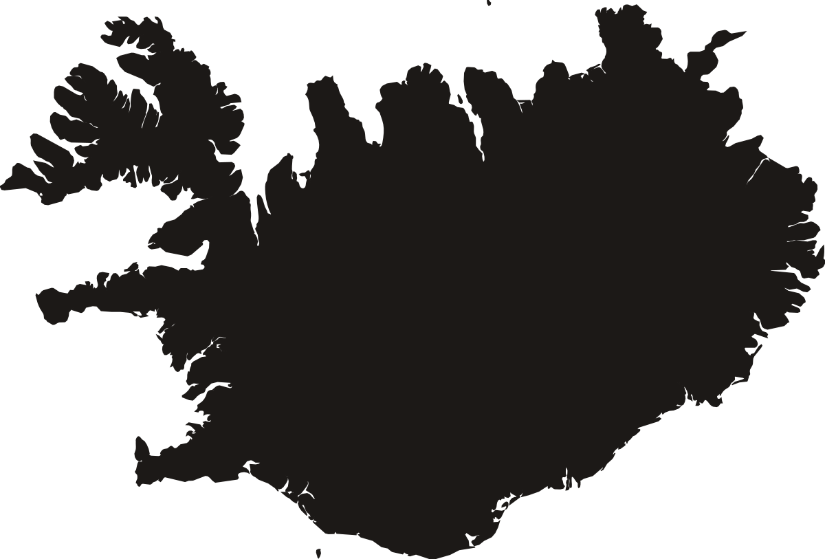
North-south map span · 353.1 km
Artwork license: PD
Creator: Natural Earth; Sizekin north-south measurement and map projection.
North-south extent of the displayed map: WGS84 meridional distance between its southernmost and northernmost boundary coordinates, not travel distance or elevation. All polygon parts assigned to this country in the pinned Natural Earth admin-0 feature.
Wikipedia (English) Measurement source ↗Silhouette source ↗License details ↗Sources & credits →
(cruise ship)
Length · 365 m
Artwork license: Source-site artwork
Creator: Size It Up — original source artwork
Wikipedia (English) Measurement source ↗Silhouette source ↗Sources & credits →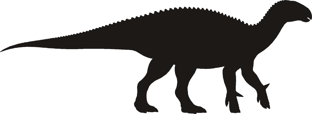
Iguanodon bernissartensis
Length · 10 m
Artwork license: Source-site artwork
Creator: Size It Up — original source artwork
Selected published estimate of total body length, snout to tail tip; schematic reconstruction, not a specific measured specimen.
Wikipedia (English) Measurement source ↗Silhouette source ↗Sources & credits →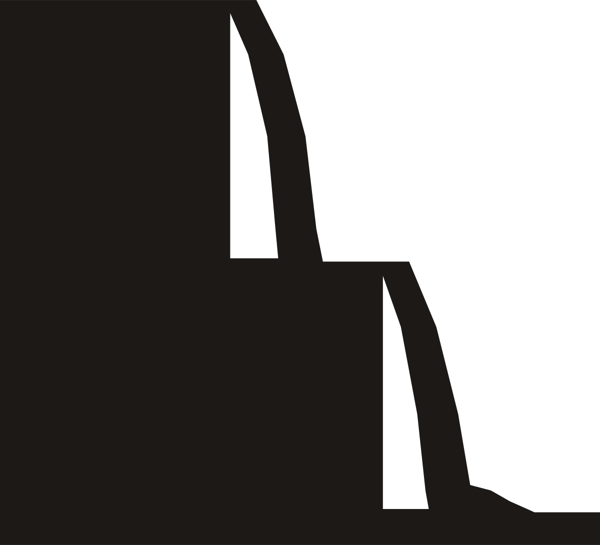
(maximum height)
Height · 82 m
Artwork license: Source-site artwork
Creator: Size It Up — original source artwork
Maximum height of the falls, whose many cascades vary between 60 and 82 m high, drawn as a two-step cascade in cross-section. The width is schematic, not the 2.7 km edge.
Wikipedia (English) Measurement source ↗Silhouette source ↗Sources & credits →
Width · 54.7 cm
Artwork license: © Sizekin
Creator: Sizekin — original schematic vector illustration.
Representative size from a documented example; this generic silhouette is not a model-specific drawing.
Wikipedia (English) Measurement source ↗Silhouette source ↗Sources & credits →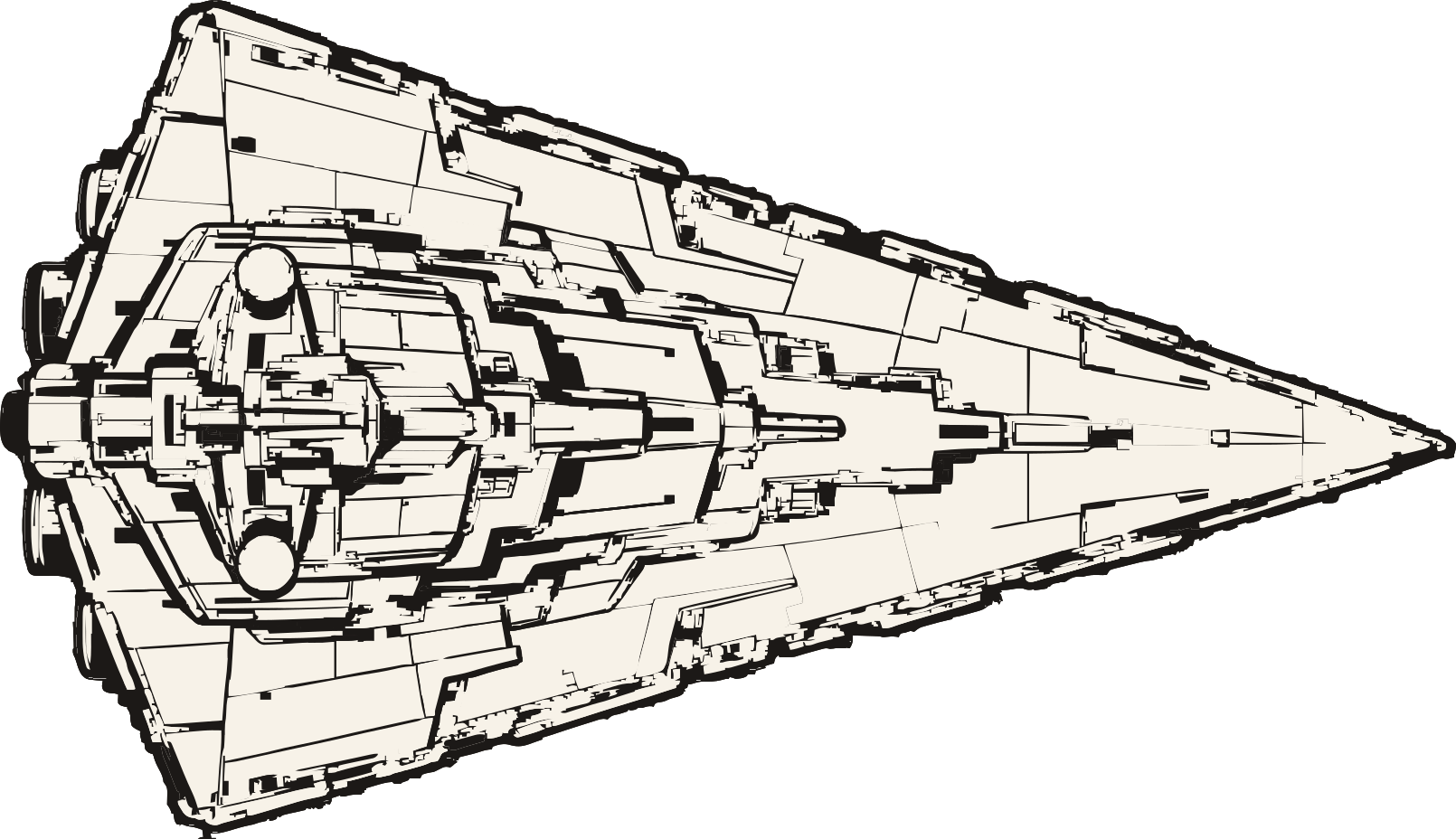
Star Wars · Imperial-class Star Destroyer
Length · 1.6 km
Artwork license: © Sizekin
Creator: Sizekin — AI-assisted character illustration. Character designs and names belong to their respective rights holders; no open license to those characters is claimed.
Official Databank overall length; top-view illustration uses the horizontal nose-to-tail axis.
Wikipedia (English) Measurement source ↗Silhouette source ↗Sources & credits →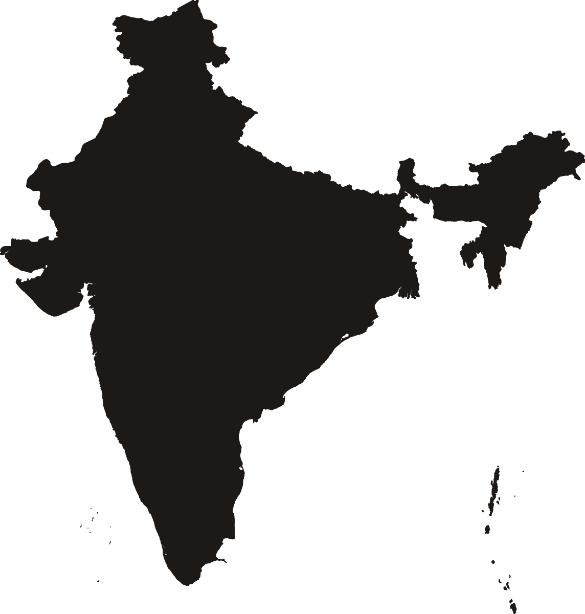
North-south map span · 3,184 km
Artwork license: PD
Creator: Natural Earth; Sizekin north-south measurement and map projection.
North-south extent of the displayed map: WGS84 meridional distance between its southernmost and northernmost boundary coordinates, not travel distance or elevation. All polygon parts assigned to this country in the pinned Natural Earth admin-0 feature.
Wikipedia (English) Measurement source ↗Silhouette source ↗License details ↗Sources & credits →
(complete arch)
Height · 42 m
Artwork license: CC-BY-3.0
Creator: Delapouite, Game-icons.net, CC BY 3.0; background removed and normalized for Classic.
Ground to the top of the complete arch; not the height of the opening.
Wikipedia (English) Measurement source ↗Silhouette source ↗License details ↗Sources & credits →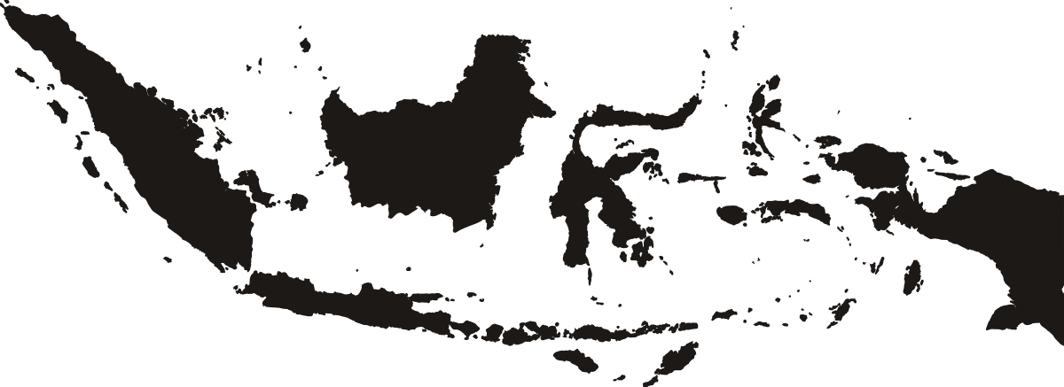
North-south map span · 1,861 km
Artwork license: PD
Creator: Natural Earth; Sizekin north-south measurement and map projection.
North-south extent of the displayed map: WGS84 meridional distance between its southernmost and northernmost boundary coordinates, not travel distance or elevation. All polygon parts assigned to this country in the pinned Natural Earth admin-0 feature.
Wikipedia (English) Measurement source ↗Silhouette source ↗License details ↗Sources & credits →
(FIVB indoor ball)
Diameter · 21.01 cm
Artwork license: CC-BY-3.0
Creator: Delapouite / Game-icons.net, CC BY 3.0; simplified from volleyball-ball.svg (SHA-256 c4502e0198d9481bb848f692d35ec9cd90ca5909eed496fbd8dfc36ddbde0490)
FIVB indoor ball; midpoint of permitted 65–67 cm circumference divided by pi
Wikipedia (English) Measurement source ↗Silhouette source ↗License details ↗Sources & credits →
(US)
Height · 2.03 m
Artwork license: Source-site artwork
Creator: Size It Up — original source artwork
Wikipedia (English) Measurement source ↗Silhouette source ↗Sources & credits →
Length · 109 m
Artwork license: Source-site artwork
Creator: Size It Up — original source artwork
Wikipedia (English) Measurement source ↗Silhouette source ↗Sources & credits →
(Jupiter’s moon · mean diameter)
Diameter · 3,643 km
Artwork license: © Sizekin
Creator: Sizekin — original schematic vector illustration.
Mean diameter: twice the published radius. Circular scale diagram, not a surface map or an exact limb model.
Wikipedia (English) Measurement source ↗Silhouette source ↗Sources & credits →
Height · 24.86 cm
Artwork license: CC-BY-3.0
Creator: Icons made by skoll, Game-icons.net, CC BY 3.0. Background removed, recolored and oriented for measurement.
Representative size from a documented example; this generic silhouette is not a model-specific drawing.
Wikipedia (English) Measurement source ↗Silhouette source ↗License details ↗Sources & credits →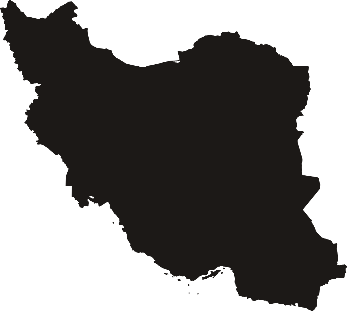
North-south map span · 1,632 km
Artwork license: PD
Creator: Natural Earth; Sizekin north-south measurement and map projection.
North-south extent of the displayed map: WGS84 meridional distance between its southernmost and northernmost boundary coordinates, not travel distance or elevation. All polygon parts assigned to this country in the pinned Natural Earth admin-0 feature.
Wikipedia (English) Measurement source ↗Silhouette source ↗License details ↗Sources & credits →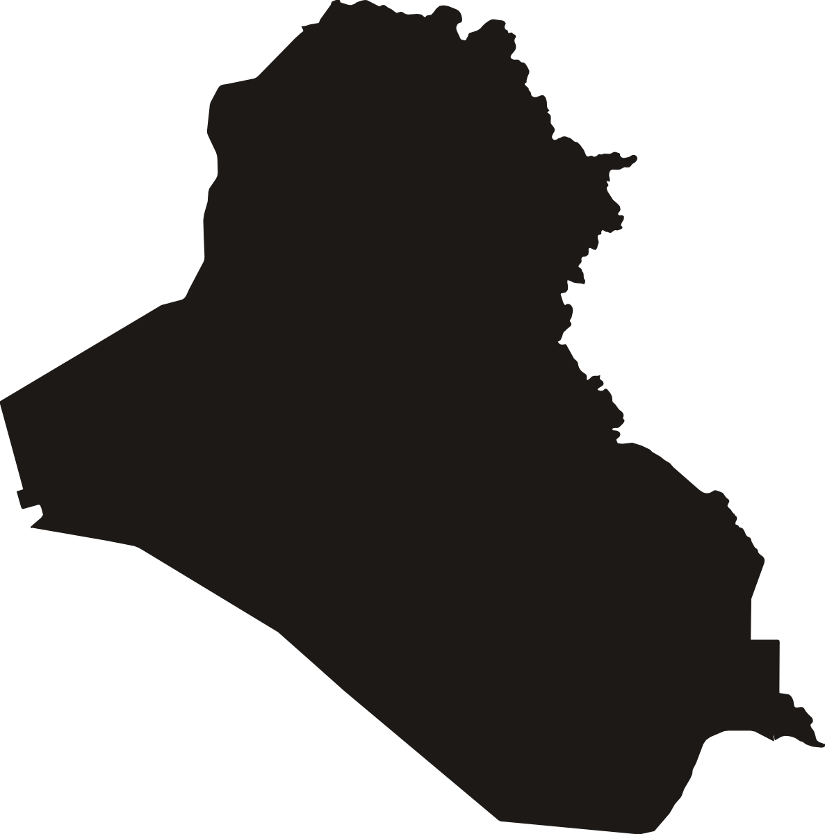
North-south map span · 921.9 km
Artwork license: PD
Creator: Natural Earth; Sizekin north-south measurement and map projection.
North-south extent of the displayed map: WGS84 meridional distance between its southernmost and northernmost boundary coordinates, not travel distance or elevation. All polygon parts assigned to this country in the pinned Natural Earth admin-0 feature.
Wikipedia (English) Measurement source ↗Silhouette source ↗License details ↗Sources & credits →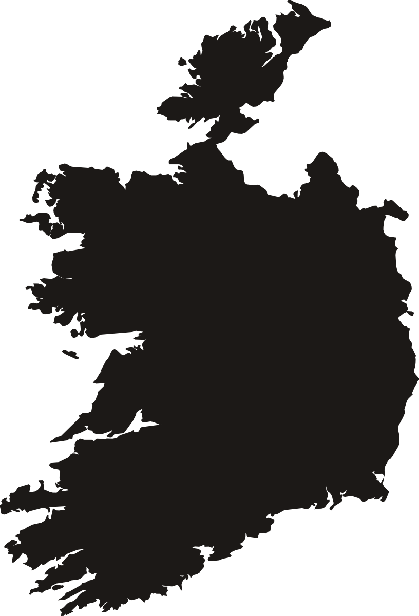
North-south map span · 438.6 km
Artwork license: PD
Creator: Natural Earth; Sizekin north-south measurement and map projection.
North-south extent of the displayed map: WGS84 meridional distance between its southernmost and northernmost boundary coordinates, not travel distance or elevation. All polygon parts assigned to this country in the pinned Natural Earth admin-0 feature.
Wikipedia (English) Measurement source ↗Silhouette source ↗License details ↗Sources & credits →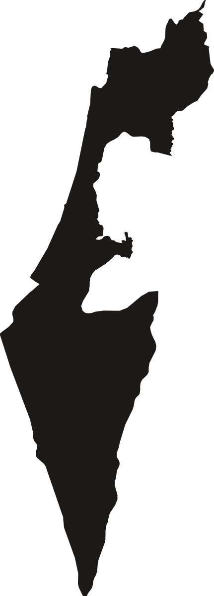
North-south map span · 434.3 km
Artwork license: PD
Creator: Natural Earth; Sizekin north-south measurement and map projection.
North-south extent of the displayed map: WGS84 meridional distance between its southernmost and northernmost boundary coordinates, not travel distance or elevation. All polygon parts assigned to this country in the pinned Natural Earth admin-0 feature.
Wikipedia (English) Measurement source ↗Silhouette source ↗License details ↗Sources & credits →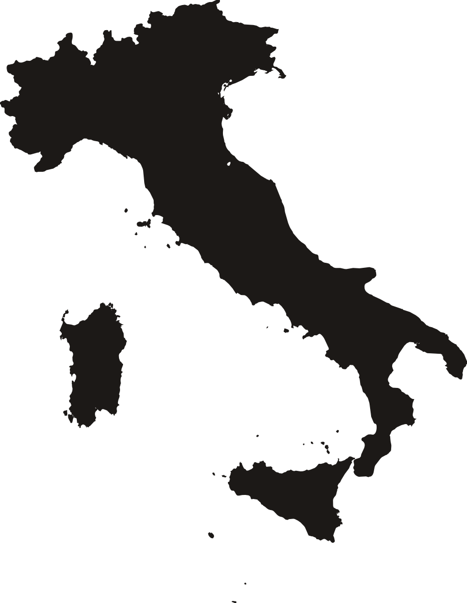
North-south map span · 1,288 km
Artwork license: PD
Creator: Natural Earth; Sizekin north-south measurement and map projection.
North-south extent of the displayed map: WGS84 meridional distance between its southernmost and northernmost boundary coordinates, not travel distance or elevation. All polygon parts assigned to this country in the pinned Natural Earth admin-0 feature.
Wikipedia (English) Measurement source ↗Silhouette source ↗License details ↗Sources & credits →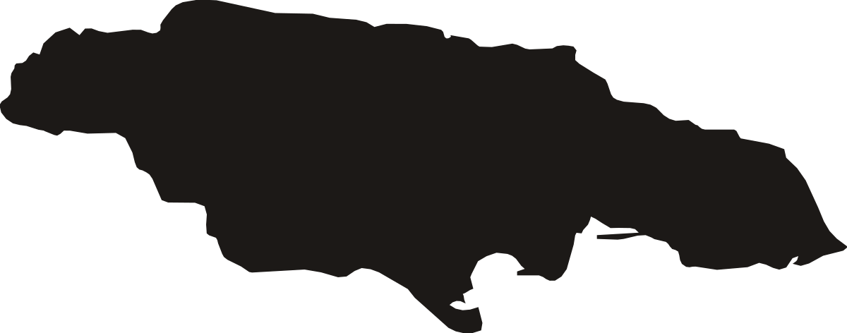
North-south map span · 90.97 km
Artwork license: PD
Creator: Natural Earth; Sizekin north-south measurement and map projection.
North-south extent of the displayed map: WGS84 meridional distance between its southernmost and northernmost boundary coordinates, not travel distance or elevation. All polygon parts assigned to this country in the pinned Natural Earth admin-0 feature.
Wikipedia (English) Measurement source ↗Silhouette source ↗License details ↗Sources & credits →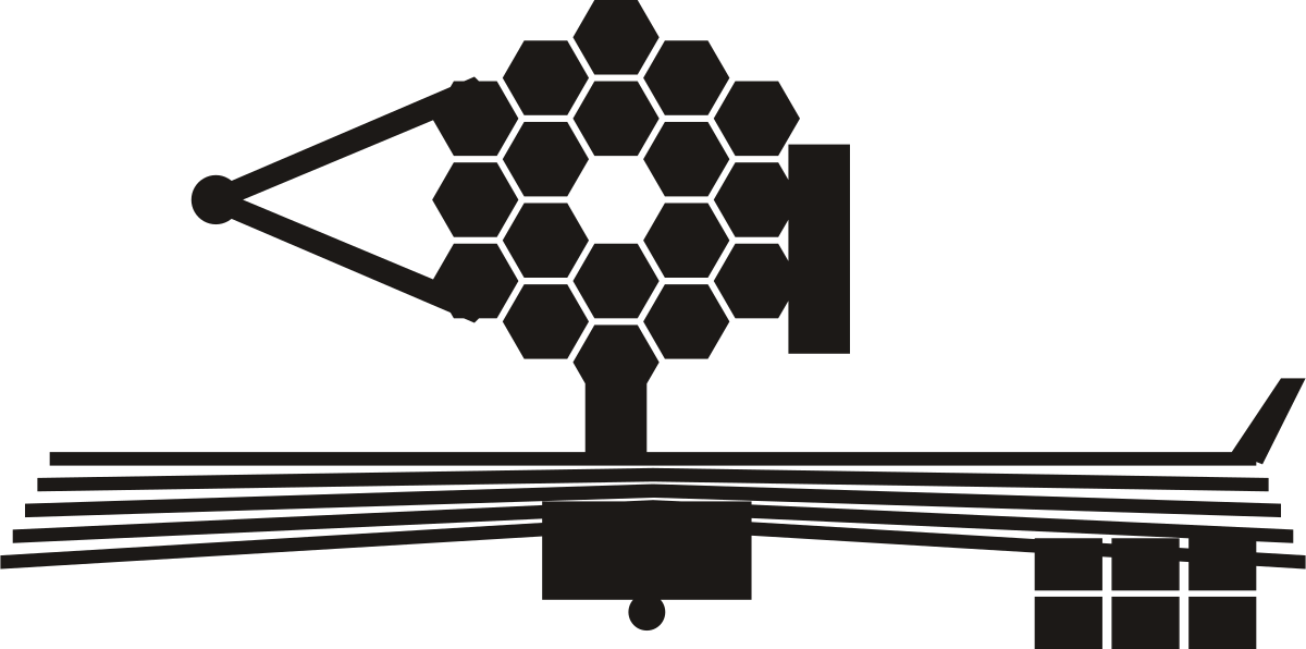
(sunshield length)
Length · 21.2 m
Artwork license: Source-site artwork
Creator: Size It Up — original source artwork
Deployed five-layer sunshield, 21.197 m by 14.162 m; its long axis is measured, with the gold mirror turned to face the viewer.
Wikipedia (English) Measurement source ↗Silhouette source ↗Sources & credits →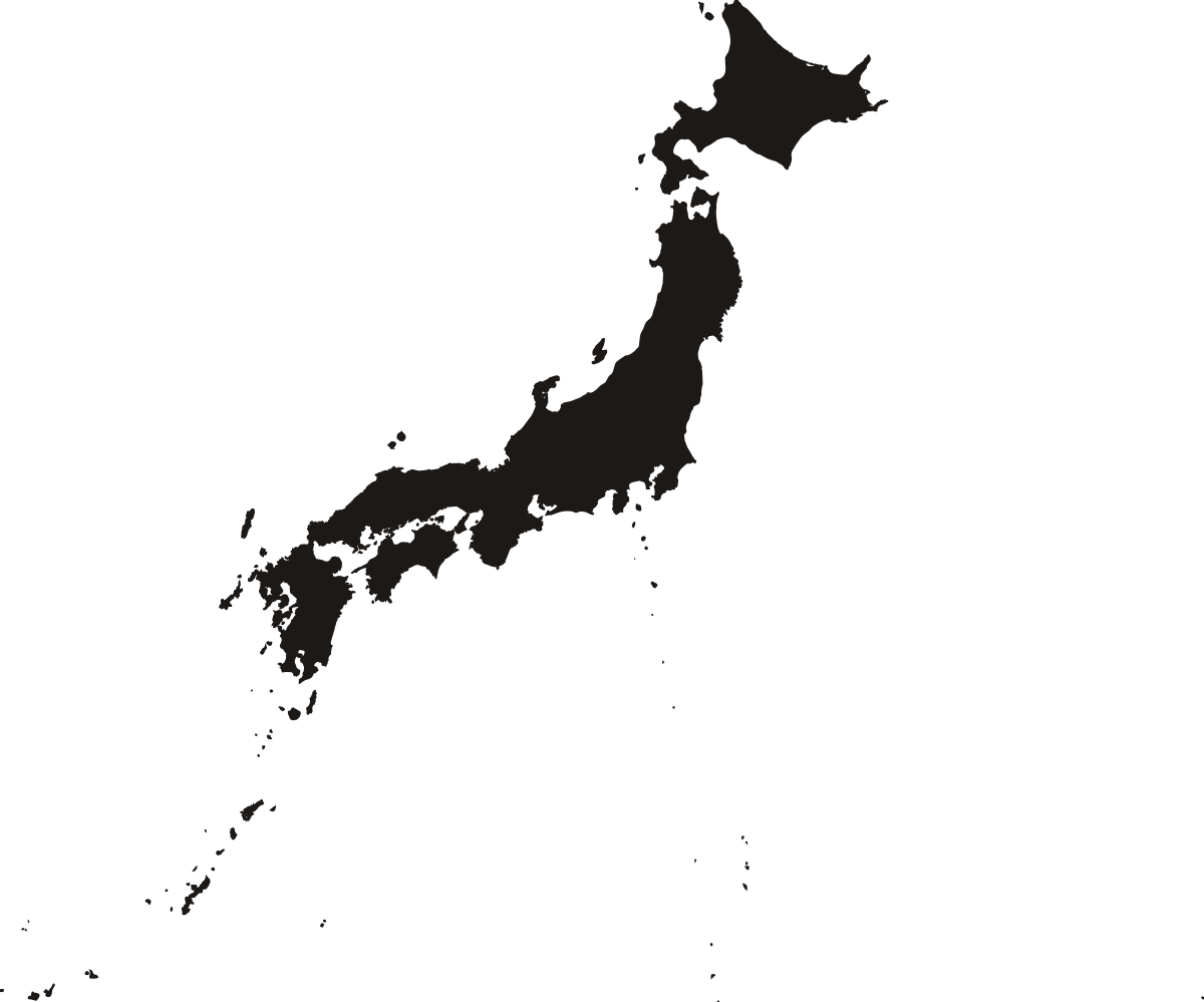
North-south map span · 2,364 km
Artwork license: PD
Creator: Natural Earth; Sizekin north-south measurement and map projection.
North-south extent of the displayed map: WGS84 meridional distance between its southernmost and northernmost boundary coordinates, not travel distance or elevation. All polygon parts assigned to this country in the pinned Natural Earth admin-0 feature.
Wikipedia (English) Measurement source ↗Silhouette source ↗License details ↗Sources & credits →